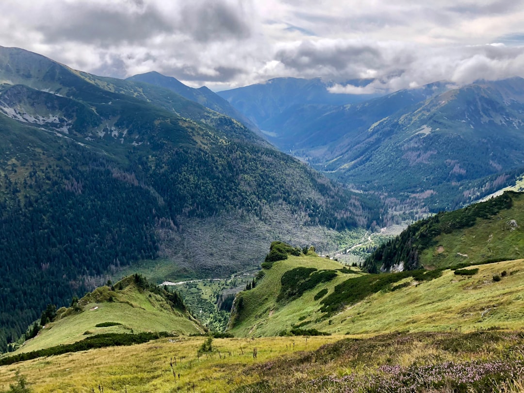
Karkonosze National Park - the Krkonoše in Czech, commonly called the Giant Mountains - straddles the border between southwestern Poland and the Czech Republic in the Lower Silesia region. It protects Poland’s section of the Sudetes range, a geologically distinct mountain arc that predates the Alps and has an entirely different character to the granite spires of the Tatras.
The landscape here is rounded, wide-open, and windswept at altitude - sub-alpine heath and peat bogs at the ridge level, dense spruce forest below, and waterfalls cutting through deep gorges. Śnieżka (1,603m) is the highest point, but it is the variety of terrain and the accessibility from Wrocław that makes Karkonosze such a popular destination.
Karkonosze National Park: Entry and Rules
Park entry fee: approximately PLN 7 per day or PLN 12 for two days as of 2026. Tickets are sold at staffed kiosks near the main trailheads in Karpacz and Szklarska Poręba. The fee applies to the Polish section of the park; the Czech side has its own entry system.
The park is jointly managed with Krkonošský národní park (KRNAP) across the border. Some ridge trails cross between Poland and Czech Republic freely - the EU border is open, though you will need valid identification.
Trail marking: The standard Polish PTTK colour-coded trail system applies throughout the park. Yellow, green, blue, and red trails cover different areas and difficulties. Ridge trails are generally red.
Key Trails and Attractions
Śnieżka Summit (1,603m)
The summit is the primary objective for most visitors, and for good reason - on a clear day the view extends across both Polish and Czech landscapes. The distinctive saucer-shaped weather station at the top (a 1970s Czech-built structure on the older Polish meteorological station site) is visible from well below.
By cable car: The gondola lift from Karpacz (Kolejka linowa na Śnieżkę) runs to the upper station at approximately 1,370 metres. Return ticket approximately PLN 50 as of 2026. From the top station, the trail continues steeply for approximately 45–60 minutes to the true summit. This combined approach is the most popular option.
On foot from Karpacz: The red trail from the town centre to the summit covers approximately 5km with 870 metres of elevation gain. Allow 3–3.5 hours for the ascent, 2.5 hours to descend. The path is wide and well-maintained but becomes rocky and exposed above the treeline.
Difficulty: Moderate. Accessible to fit walkers with appropriate footwear. The final 200 metres below the summit can have snow and ice into June - check conditions before departure.
Best timing: Early starts avoid the worst of the afternoon cloud that frequently closes in on the summit. The cable car tends to queue from mid-morning in summer.
Szklarka Waterfall (Wodospad Szklarki)
A 13-metre cascade in a forested gorge 3km south of Szklarska Poręba. The circular trail from the town takes approximately 30–45 minutes and is free of charge (outside the main park boundary). One of the most accessible waterfall walks in the region - wide path, minimal elevation change.
Chojnik Castle Ruins
Perched on an isolated hill (Chojnik, 627m) above the village of Sobieszów, the 14th-century Chojnik Castle was a Schaffgotsch family stronghold commanding views of the Jelenia Góra valley. Today its dramatic ruined state and the hilltop position make it one of the most visually striking castle sites in Lower Silesia.
The trail from Sobieszów takes approximately 1.5 hours return, gaining 200 metres. The castle ruins are open to visitors with a small entry fee (approximately PLN 8 as of 2026). Sobieszów is a 10-minute bus ride from Jelenia Góra.
Szrenica and the Western Ridge (Szklarska Poręba)
The western end of the park centres on Szrenica (1,362m), reached by chair lift from Szklarska Poręba (approximately PLN 35 return as of 2026) or by trail in 2.5 hours. From Szrenica, the main ridge trail runs eastward toward Śnieżka - the full ridge traverse to Karpacz takes a full day and requires transport arranged at the far end.
Guided Operators
Karkonosze Guides Association (Koło Przewodników PTTK Jelenia Góra) Licensed mountain guides covering the main Karkonosze trails. Group hikes cost approximately PLN 200 per person for a half-day as of 2026. Contact via the Jelenia Góra tourist office or through the PTTK office in Jelenia Góra. You can also browse guided outdoor tours in Wrocław for Karkonosze and Sudeten hiking excursions bookable from Wrocław.
Local operators in Karpacz Several small operators in Karpacz offer guided day hikes to Śnieżka and along the ridge, particularly suited to groups of 4–8 people. Prices typically run approximately PLN 200–250 per person for guided hikes as of 2026. Ask at your accommodation in Karpacz for current operators - the market changes seasonally.
Best Season
May–October is the main hiking season. Śnieżka can retain snow and ice into early June - check current trail conditions on the park’s site before departure.
July and August are the busiest months. The trails to Śnieżka and the cable car queue can be substantial from 10am onwards. Early starts (before 8am) or weekday visits significantly reduce wait times.
September is an excellent month - stable weather, lighter crowds, and the first autumn colour appearing in the lower forests.
Getting There
From Wrocław: Train from Wrocław Główny to Jelenia Góra runs multiple times daily. Journey time approximately 2 hours; cost approximately PLN 30–60 as of 2026. From Jelenia Góra, local buses to Karpacz take approximately 30–40 minutes (Bus 7 or 15 from Jelenia Góra bus station, approximately PLN 5 as of 2026). For Szklarska Poręba, change trains at Jelenia Góra; journey time to Szklarska Poręba approximately 30 minutes.
From Poznań: Train to Jelenia Góra via Legnica or Wrocław; approximately 3–4 hours total.
By car: Karpacz is approximately 100km southeast of Wrocław, around 1.5 hours. Parking is available in the centre of Karpacz near the cable car base station.
Practical Details
Weather: The Karkonosze ridge generates its own microclimate. Cloud closes in rapidly and wind on the exposed summit can be intense even in summer. A waterproof jacket is essential regardless of the forecast at valley level.
Footwear: The main trails to Śnieżka are rocky above the treeline. Ankle-support hiking boots recommended for the full ascent on foot; sturdy trainers are acceptable for the waterfall walk and Chojnik Castle.
Altitude sickness: Not a concern at Karkonosze elevations.
Accommodation: Both Karpacz and Szklarska Poręba have a wide range of hotels, guesthouses, and hostel options suitable for all budgets. Book in advance for summer weekends.
Search hotels in Poland on Booking.com
Related City Guides
- Jelenia Góra City Guide - the main transport hub for the Karkonosze region
- Wrocław City Guide - the nearest major city and a natural starting point for this trip
- Tatra Mountains Trekking - Poland’s other great hiking area for comparison
- Zakopane vs Jelenia Góra - comparing the two mountain regions
Plan Your Active Poland Trip
- Cycling in Poland - the Sudeten foothills below Karkonosze are excellent cycling country
- Best Time to Visit Poland - May to October is the hiking season; September is ideal for Karkonosze
- 10 Days in Poland Itinerary - how Jelenia Góra and the Karkonosze can fit into a longer Polish trip